Teleti gorge
One of the gorge of Jeti Oguz valley opening a way to the Karakol valley through its pass at 3780 meter altitude.
Karakol
Kyrgyzstan
One of the gorge of Jeti Oguz valley opening a way to the Karakol valley through its pass at 3780 meter altitude.
Karakol
Kyrgyzstan
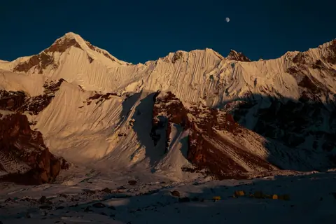
The Southern Engilchek Glacier is the largest and most spectacular of the two branches of the Engilchek Glacier system, stretching over 60 kilometers across the central Tien Shan massif. Recognized as the sixth longest non-polar glacier in the world and the largest in Kyrgyzstan, its ice thickness reaches up to 200 meters in some places. Unlike its northern counterpart, known for hosting Lake Merzbacher and its spectacular drainage phenomenon, the southern glacier is distinguished by serving as a unique access route to the highest peaks in the region.
Engilchek
Kyrgyzstan
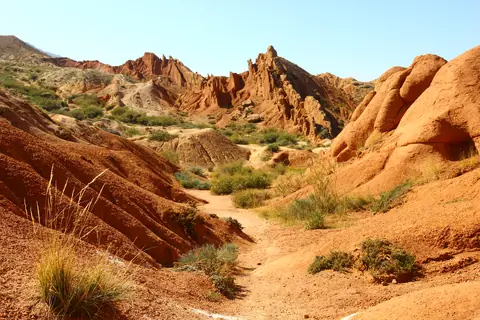
The canyon was named because of its bizarre rocky landscape, which for many years has been transformed by erosion into amazing sculptures and formations. Some formations look like The Great Wall of China and you can also find other formations that look like snakes, dragons, sleeping giants and even whole castles. From the canyon you can see a majestic panorama of Lake Issyk-Kul and snow caped mountains. It’s an excellent destination for children and adults because it’s an easy hike close to Lake Issyk-Kul.
Tosor
Kyrgyzstan
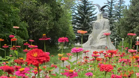
Nikolay Mikhailovich Przhewalsky was one of the first Russian Geographer who started studying in detail the geography, flora and fauna of the Central Asia. Beginning from 1870, he arranged 4 large expeditions to Mongolia, China, and Tibet.
During his expeditions, he revealed the exact directions of the mountain ranges and borders of the Tibetan Mountains. Przhewalsky collected an enormous zoological collection, which comprised several thousand of species of plant, animals, birds, fishes and insects.
Karakol
Kyrgyzstan
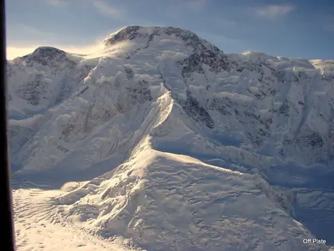
Le pic Pobeda est le point culminant du massif du Tian Shan et du Kirghizistan, à l'est du pays à la frontière avec la Chine. Il constitue un symbole historique pour différents pays. Il est gravi pour la première fois en 1956 par Vitaly Abalakov. Sommet particulièrement dangereux, son ascension est principalement tentée par des alpinistes russes.
Engilchek
Kyrgyzstan
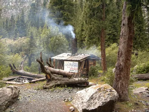
A small hut built by local alpinist during the Soviet Union. There absolutely no comfort but the place around is popular for installing camp tents.
Karakol
Kyrgyzstan
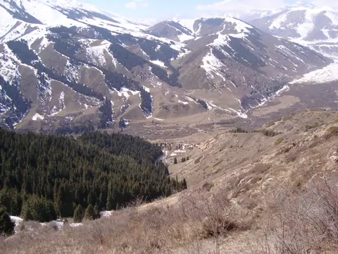
The Semenov Valley and its gorges (Kichi Ak-Suu), about 35 km long, are located 40 km east of the town of Cholpon-Ata. In the valley flows the Kichi Ak-Suu river, and its main tributaries are the Sut-Bulak, Ashutor, Bel-Bulak, Chong-Kugantyr and Djol-Karagay rivers which meet at a place called "Kyrchyn". Most of the tributaries originate from the glaciers of Kungey Alatoo. The river flows into Issyk Kul Lake.
Semenovka
Kyrgyzstan
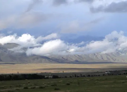
Small village on the North shore of the Issyk Kul lake. 35 km East of Balykchy town.
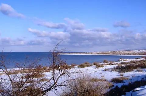
Tosor is a small village located on the southern shore of Lake Issyk-Kul in Kyrgyzstan. This place attracts the attention of both tourists and researchers due to its unique natural and cultural features.
Tosor is located on the southern side of the famous Issyk-Kul Lake, one of the largest and deepest lakes in the world. The lake is famous for its crystal clear waters and beautiful scenery. The mountains surrounding the lake create magnificent views and provide opportunities for various outdoor activities such as hiking and mountaineering.
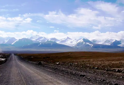
Sarychat-Ertash Nature Reserve was founded in 1995 for the protection of high altitude ecosystems and its fauna, in particular the snow leopard and its prey.
The total area is 1341 km² (518 mi²), making it one of the most important parks in Kyrgyzstan and Central Asia. It is located in the southeast of the Terskey Alatoo mountain range. Most of the park is made up of the Ak-Shirak massif and its high tundra.
Authorization to visit the park is difficult because access is only allowed to teams of scientists coming to study the flora and fauna of the park.
Ak-Shyyrak
Kyrgyzstan