Naryn Region

Song Kul lake

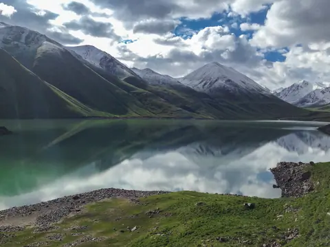
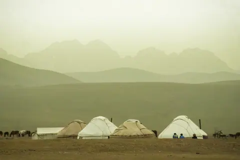
Nestled within the rugged beauty of the Kyrgyz landscape, Song Kul Lake, also known as Song Kul, emerges as the quintessential pastureland of nomadic life. Stretching over vast expanses, this high-altitude lake spans approximately 25 to 35 kilometers, its crystalline waters mirroring the azure sky above. As the beating heart of nomadic existence, hundreds of traditional yurts dot the landscape during the summer months, forming a transient village that echoes with the spirit of generations past.

Song Kul lake
Kyrgyzstan

Small village at the crossroad of the Song Kul's road and Naryn.

Geo

Torugart pass

Image
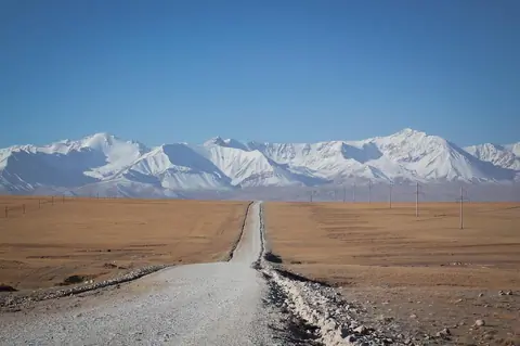
Road to Tian Shan or Mountain of Heaven
Height
718
Width
1080

The Torugart Pass is the most marked passage between Kyrgyzstan and China. Travelers and merchants cross this passage more than 2000 years ago. On the Kyrgyz side, the caravanserai of Tash Rabat is the stopping point for spending the night before the day that will take you to Kashgar. The passage is heavily controlled, especially on the Chinese side, and your trip must be organized with local tour operators. The pass is open all year, but is closed on weekends (Saturday and Sunday), and when there is heavy snowfall.

At-Bashi
Kyrgyzstan

Salkyn-Tor national park

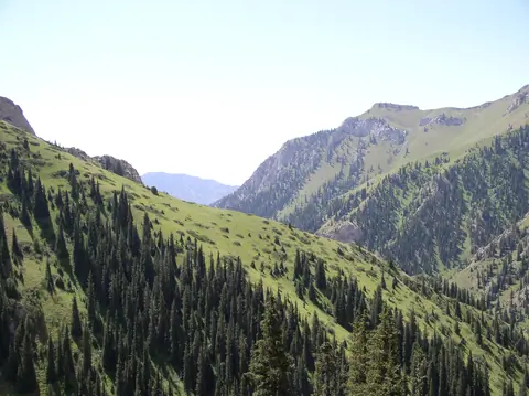
Salkyn-Tor National Park is located on the forested northern slope of the Naryn Too mountain range about 18 km east of the town of Naryn. The park was established in May 2001 and has an area of 104 km². It can be reached easily by the road up the Naryn River. The entrance fee to the park costs $ 1 per person.
One of the objectives of the park is to increase the local population of Maral, which has declined sharply since independence. Other animals inhabit the forests of the Naryn Range include roe deer, Eurasian lynx, and brown bear.

Naryn
Kyrgyzstan

Kol-Ukok lake (Kel-Ukek, Kel-Ukok)

Kel Ukok Lake is a lake located 3048 meters above sea level south of the city of Kochkor. The lake was formed after the glaciers retreated, and its wall was formed by moraines. 

At the bottom, there are several small lakes in the moraine, then the first lake on the plateau is called Aral. The lake attached to Aral is Kel Ukok Lake which is 2330 meters long and 530-730 meters wide, and 72 meters deep. 

Kochkor
Kyrgyzstan

Kilemche Jailoo

Kilemche valley is situated in Jumgal region, at an altitude up to 3240 m., where some nomads families stay even in farms during the winter. It does not have steeps rapids, so it is more like a mountain valley and river flowing quietly and steadily. Kilemche jailoo has amazing beauty of meadows, where it grows a lot of herbs and flowers to delight the eye, like arnica, edelweiss and gentian.

Kilemche
Kyrgyzstan

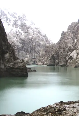
Kokkya canyon

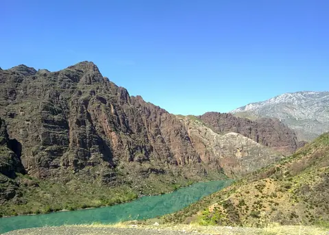
The canyon of Kokkya (Kok-Kya or Kok-Kiya or Kökkyia) is located in the Ak-Say bassin of the Naryn region, at the distance of about 100 km from Naryn city. Meanders of the Kokkya river is about 40 km long, where series of cliffs cut the plateau of Kapshigay before to flew into the Kakshal river, some km before to cross the Chinese border. The river originates in the mountains of Köl Too and Sary Beles and the mystic lake Köl-Suu (Koel-Suu or Kel-Suu).

Naryn
Kyrgyzstan

Kyzart Pass

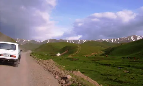
The pass between Kochkor and the Jumgal valley. Open all the year around. In summer, you can observe some yurt camp around this region. In winter is windy and snowy.

Kyzart
Kyrgyzstan

Naryn reserve

Naryn Nature Reserve is located 40 km east of the town of the same name. It was established in 1983 and covers an area of 1080 km2. The reserve stretches along the northern flank of the Naryn Kyrka Toosuu Range, south of the Chong Naryn River. The altitude rises from 2000 meters to 4500 meters. The flora and fauna has become very rich, there are snow leopards, gray wolves, red foxes, Siberian ibex and argali, deer, Tien Shan brown bears and much more. 48 bird species have also been listed.

Naryn
Kyrgyzstan