Song Kul waterfall
Song Kul's waterfalls are situated about 10 km from the exit of the Song Kul's lake. There is an easy access from the road to Naryn.
Song Kul lake
Kyrgyzstan
Song Kul's waterfalls are situated about 10 km from the exit of the Song Kul's lake. There is an easy access from the road to Naryn.
Song Kul lake
Kyrgyzstan
Small village located 68 km from Kochkor on the road to Chaek. This is the starting point of several horse riding tours to Lake Song Kul or to Sarala Saz pastures. It lies between the mountains of Sandyk and Song Kul. Our partner of the eco-tourism association "Shepherd's Life" can lodge you for the night with the locals.
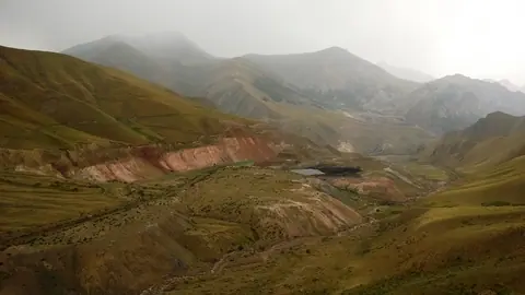
This open pit mine is one of the largest in Kyrgyzstan. You can see it when you take the road between Song Kul Lake and Chaek.
Chaek
Kyrgyzstan
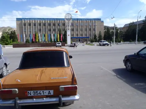
Blocked in the Central Tien Shan, the town was built during soviet times. If the town has no charm, the landscape is just unbelievable. Red cliffs are surrounding the main city of the Naryn's Oblast.
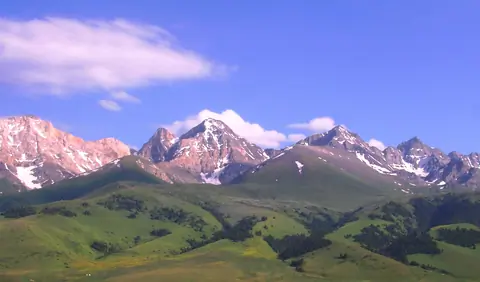
The At-Bashi Range is 135km long and culminates at 4,801 meters. It stretches from the southwest, from the Muz-Tor valley and the Tuz-Bel Ashuu pass, to the northeast to Bosogo and the Kayindi pass. North of the chain is the At-Bashi Valley at an average altitude of 2,500 meters. North side, the slopes are steep and covered with rich vegetation. On the south side, the plain of Ak-Say is at an average altitude of 3200 meters. The highest peak is the Rhianydd at 4,801 meters. The At-Basi peak rises to 4788 meters and is the second highest in the chain.
At-Bashi
Kyrgyzstan
A small village in the heart of the Kekemeren canyon, with red rocks landscape. A nice place to start a trek or horseback riding to Suusamyr valley.
Sary Kamysh pastures lie on the border of Jalal Abad and Naryn oblast. The region is sparsely inhabited and road access is very difficult. This is what makes the place exceptional. It is accessed from Kyzyl Oy by the Kyrk Kyz pass 3223 meters above sea level and from the west from the village of Toluk, and the Tör Jayloo pass at 2465 meters above sea level. A road descends to the south to join the Kekemeren (Kökömeren) river and its magnificent red sandstone canyon.
Song Kul lake
Kyrgyzstan
A beautiful gorge full of pine forests. The river is a confluence of the Naryn River.
Naryn
Kyrgyzstan
The Toktogul hydroelectric power station, built in 1975, is the largest and most important power station in the country, producing up to 40% of its electricity. In addition, the dam of its dam produces a volume of 19 billion cubic meters of water that flows through the largest Toktogul reservoir in Central Asia and governs the irrigation and energy regimes. Visits are prohibited to the public, and entrances are monitored by the military. Access to the dam is from the small town of Kara-Kël (or Karakul, Kara-Kul, Kara-Kol).
Toktogul
Kyrgyzstan
There are two lakes, 1,2 km long and a lower lake 340 meters long. They are part of the Terskey Alatoo and the Issyk Kul oblast, even if the river flow into the Naryn bassin. It's situated near a popular local place names Jilu Suu (Jeli Suu) and its hot sources. From hot spring, you may count one day to hike there and back. It's also part of a trek between the valley of Karagoman till Jilu Suu through these lakes. Long time ago, these lakes were created after the retreat of the glacier Kelter (Köl Toer) which culminates at 4478 meters altitude.
Jeti-Ögüz
Kyrgyzstan