Issyk Kul region

Chong Kyzyl Suu meteo station

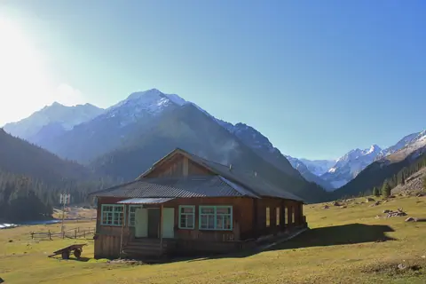
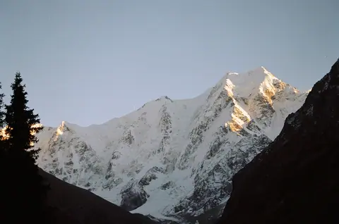
The geophysical station in the valley of Chong Kyzyl-Suu was built in 1948 by Germans, who have been captured in Kyrgyzstan. At that time, there was no way for cars to get to the station, so they had to transport all building materials on camels. 

The purpose of the station was already then to observe the glaciers, mountains and the animal world. There worked hydrologists and geomorphologists from many different nations.

Chong Kyzyl-Suu
Kyrgyzstan

Jeti Oguz sanatorium

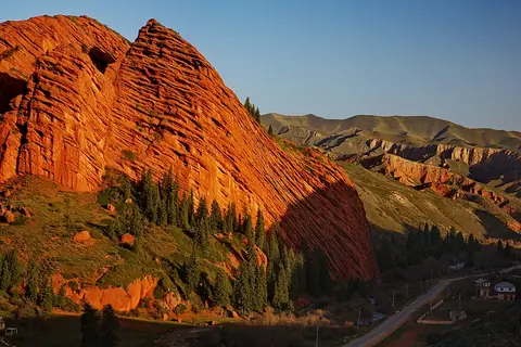
The first hydrographic study of the valley was made by N.G. Kassil in 1914. From 1926, in-depth studies were carried out on the composition of the radioactive thermal waters. And in 1931, the construction of the sanatorium began. 

Jeti-Ögüz
Kyrgyzstan

Asan Tukum (Jeti Oguz)

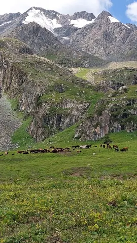
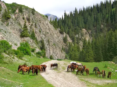
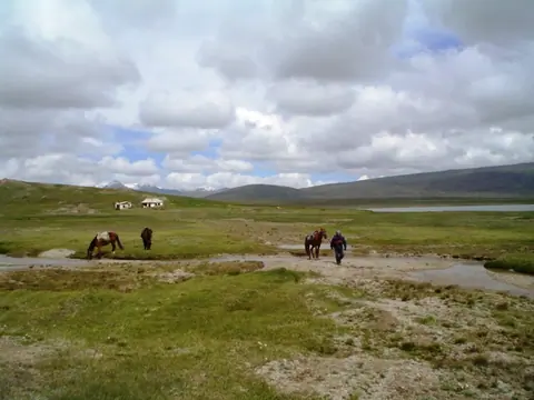
Welcome to the picturesque Jailoo at the confluence of the Jeti Oguz and Asan Tukum rivers. Each summer, nomads set up their yurts here, bringing along their sheep, cows, horses, and goats. This charming spot, nestled near the bank of Jeti Oguz river, is a haven for hikers traversing from the Chong Kyzyl Suu valley to the Karakol valley.

Jeti-Ögüz
Kyrgyzstan

Karakol valley Teleti East

The junction between the Karakol valley and the Teleti gorge. 

In the Karakol National Park, the landscape is very alpine, rocky and covered with forests. There are good places to pitch your tent, but be careful not to do too close to the rivers. Heavy rains at the end of the day, and the rivers overflowing. 

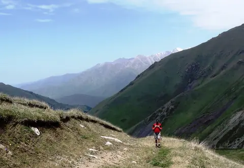
From here you can reach Teleti Pass, or On Tor pass, or Ala-Kul Lake, or simply walk down till Karakol. In winter, the place is also accessible on horseback, and allows to practice ski touring.

Karakol
Kyrgyzstan

Kel-Tor pass

This pass is aptly named "passage to the lake", it connects Lake Issyk Kul and Lake Kel Kogur by an old trail first marked by the caravans of the Silk Road. To the north, the Chong Kemin National Park and its verdant forests, its wide flowering meadows. In the South, an arid land, a mix of meadows and desert areas, to the shore of Lake Issyk Kul.

Karakol
Kyrgyzstan

Kumtor valley

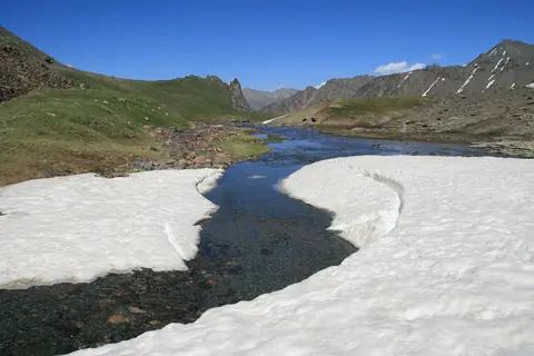
The waters of the river Kumtor come from melting glaciers in the northwest of the mountain range Ak-Shirak. It loses its name as soon as it meets the river Arabel Suu and takes the new name Taragay.

Ak-Shyyrak
Kyrgyzstan

Paterbashik lakes

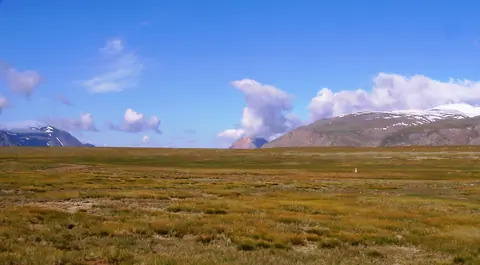
The 2 endoheric Paterbashik lakes are located on a high plain north of the Borkoldoy range, where the Tez river originates. 

The larger one, which stretches for 2.3 km, is to the west of the road leading to Uch-Kochkon, and the other smaller 670m. is on the east side of the road.

Jeti-Ögüz
Kyrgyzstan