Osh Region

Tulpar-Kol lake

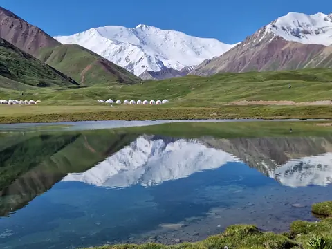
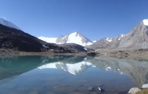
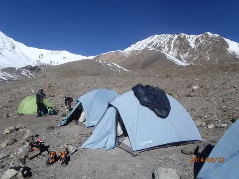
In the heart of the Achyk Tash valley, the Toulpar Kel lakes form an array of shimmering small lakes situated on the ancient moraine of the Lenin Glacier. Located just opposite the base camps of Lenin Peak (7,134 m), they offer a haven of tranquility in a magnificent setting, between high-altitude steppes and snowy peaks. A pedestrian bridge allows easy access to the base camps and the trail leading to Lenin Peak.

Sary-Mogol
Kyrgyzstan
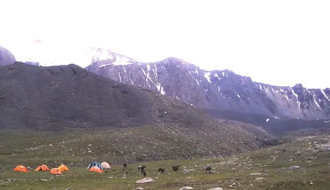
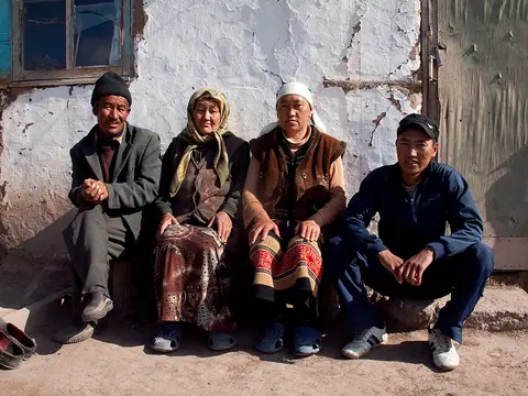
The small village of Sary Mogol is located opposite the famous Lenin peak, on the right bank of the Kyzyl-Suu river which forms the majestic valley of Alay, 180 km long. The glaciers of the Zaalayskiy ridge here form the sources of the great Amu-Darya river, which supplies water to most of the territories of Tajikistan, Uzbekistan and Turkmenistan. By Stalin's clumsiness, the Kyrgyz people of Sary Mogol were cut in two by the Tajik border. Before the arrival of the Tsar, the Kyrgyz people occupied and still occupy the upper Tajik Pamirs.

Geo
Contains

Small village of yak breeders, located at the crossroads with China and Tajikistan on the Silk Roads. Sary Tash means in Kyrgyz "the yellow stone". From the village, there is a panoramic view of the Zalaïskiy mountain range. To the west where the waters of the Kyzyl-Suu river flow towards Djirgatal in Tajikistan, we can see the Lenin peak rising to 7134 meters above sea level.

Geo
Contains
Image
Osh city
Height
1944
Width
2592

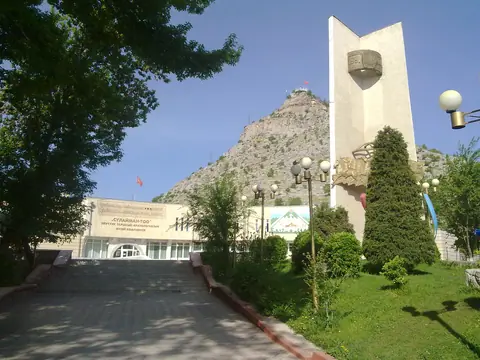
Osh, the second largest city of the Kyrgyz republic, is one of the oldest settlements of Central Asia. It is located in southwestern Kyrgyzstan near the Uzbekistan border in the eastern section of the Fergana Valley. This one of the Central Asia's most interesting cities because of its long history, dating back as least to the 5th century BC - its position as an important crossroads for Silk Road trade and its huge market. For centuries it was a major silk-production center, strategically situated on a trade route to India.

Geo

Contains

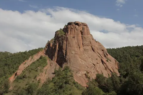
The Kodjo Kelen valley is still little known. The ocher cliffs create an impressive contrast in the middle of alpine-type vegetation. You can spend at least two days walking there. But it is also the start of 2 treks towards, one passing the Jiptik pass and joining Sary Mogol in front of the Lenin peak, in 3 days. Or by the Sary Mogol pass in 7 days.

Geo

The National park of Kyrgyz-Ata

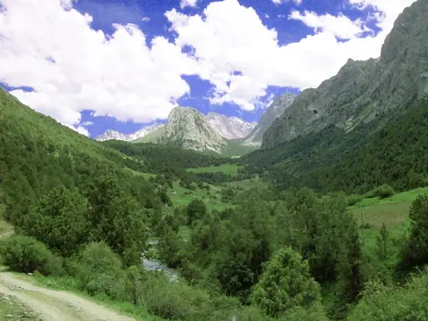
The "Kyrghyz-Ata" nature park is located in the basin of the river of the same name, descending from the northern slope of the Kichik-Alai ridge, at a distance of about 40 km from the town of Osh along the road leading to the village of Iski-Naukat. On all sides the valley is surrounded by amazingly beautiful peaks of the Kichik-Alai ridges covered with snow caps. The rocks are composed of limestone with outcrops of multicolored marble. The total area is 11,172 hectares.

Osh
Kyrgyzstan

Lenin peak

The second highest peak of Kyrgyzstan, situated in the Pamir at the border with Tajikistan. It rises at the altitude of 7134m. Best period for the ascent is from July to August, some years till early September.

Sary-Mogol
Kyrgyzstan