Osh Region

Kulunatin reserve

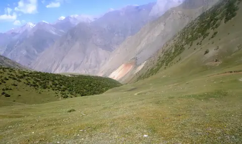
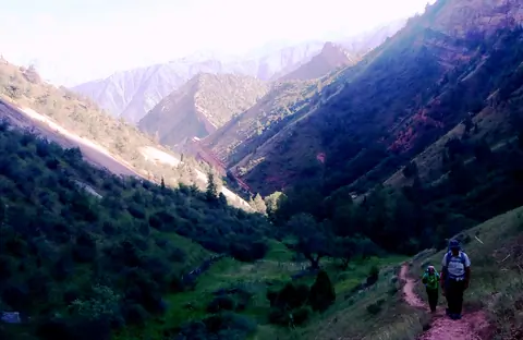
Kulunatin national reserve is located in the Kashura Too range in Osh region. It covers the territory of Ferghana range and was established in 2004 and covers about 27 thousand hectares. The Kulun (Kulung) lake is the pearl of the reserve. Landscape and biodiversity are remarkable. 

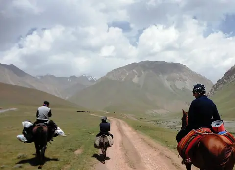
We organize different routes around this region. If you have more questions, please feel free to contact our manager.

Osh
Kyrgyzstan

Kara-Shoro national park

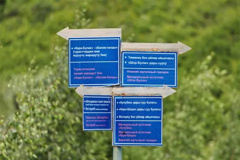
Kara-Shoro State Natural National Park is a park in Kyrgyzstan created in August 1996 of 14,340.2 hectares. The aim of the park is the conservation of the natural biotope, including geological formations, hydrological regimes, flora and fauna and endangered species. The Kara-Shoro (Yassy or Jassy) river crosses the central part of the park.

Uzgen
Kyrgyzstan

Image
Gulsho
Height
2248
Width
4000

Gulcha or Gulcho is a important village on the road M41, between Osh city and Sary-Tash village. Gulcha is the capital of the Alay district.

Geo

Alay Valley

Image
Alay valley
Height
912
Width
1480

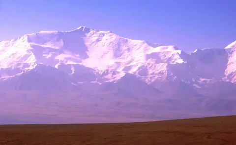
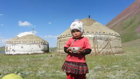
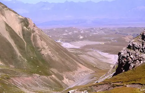
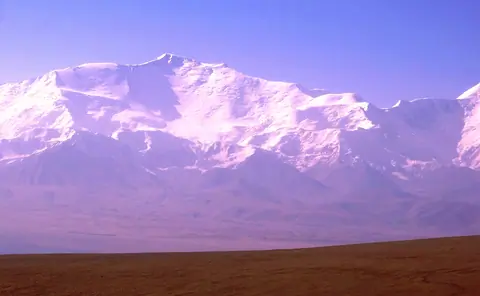
The Alay valley is bordering Tajikistan on the South of Kyrgyzstan. The river name Kyzyl Suu or the "red river" and flew into Tajikistan. It's part of the Kyrgyz Pamir or named also Pamir Alay. The valley is wellknown for large flocks of yacks but also for its wellknow peak named "Lenin". Gulsho is its administrative center, and Sary Mogol village is one of largest village of the valley. In winter, life conditions are particulary difficult.

Sary-Tash
Kyrgyzstan

Ak–Bura valley

Ak-Bura is a very long valley which has its source in the Kitchi Alay range. The city of Osh was founded at the bottom of the valley. The very important basin fills the Papan dam. One of the sights of the valley is the Red Mountains around the village of Kodjo-Kelen.

Osh
Kyrgyzstan